Since 2004 the Montana Fish & Wildlife Conservation Trust has provided over $13,000,000 in project funding to help complete 129 projects.
Fifty Percent Rule
According to the legislation, not more than 50% of the income from the Trust in any year shall be used outside the watershed of the Missouri River in the state of Montana. This watershed is defined as “from Holter Dam upstream to the confluence of the Jefferson, Gallatin and Madison Rivers.”
Please refer to the Map marking the boundary that defines “inside” or “outside” the watershed.
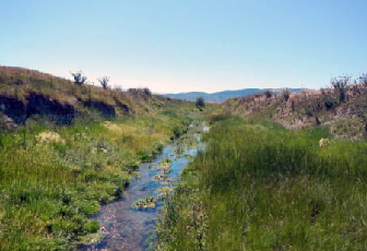
Aspen Trails Project
The Aspen Trails / Upper Prickly Pear Fishing Access Site project protects 266 acres in Lewis & Clark County. Originally, the parcel was slated to be developed into a high impact, 325 tract subdivision. When the development failed to materialize, Prickly Pear Land Trust stepped in with a fee title purchase of 30 acres which contain Prickly Pear creek and a conservation easement on the remaining 236 acres.
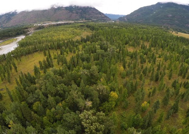
Bad Rock Canyon Conservation and Public Access Project
The Bad Rock Canyon Conservation and Public Access Project is a rare opportunity to provide recreational access for the public on 800 acres of private property adjacent to a community and protect vital wildlife habitat and a travel corridor connected to Glacier National Park and the Bob Marshall Wilderness. The project will also protect the healthy function and excellent water quality of the Flathead River, the heart of the Crown of the Continent Ecosystem, which flows into Flathead Lake, the largest freshwater lake in the western U.S. and one of the cleanest lakes in the world.
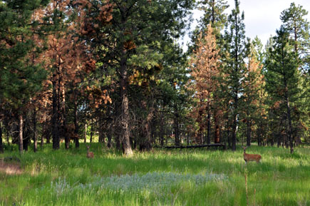
Bitterroot Riverfront Park
The Bitterroot Riverfront Park, currently named Steve Powell Park consists of 22 acres of parkland along the Bitterroot River in the city of Hamilton. The park includes a ponderosa pine woodlot, and provides habitat to fish, waterfowl, and large ungulates, like deer and moose.
Black Bridge Recreation Area
Adjacent to the Yellowstone River, Black Bridge Recreation Area is made up of 71.33 acres. Mature cottonwood trees and scattered brush serve as a refuge for local wildlife and shelter for recreational visitors. A trail encompasses the area, which skirts part of the River. There are fishing spots for walleye, sauger, catfish and various varieties of rough fish. With varying depths of up to 30 feet, the river is a safe-haven to native fish species.
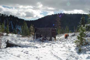
Blackfoot Community Conservation Area
Just east of Missoula, the Blackfoot River Valley was an area explored by Lewis and Clark centuries ago and its rich history and scenic landscape have made it a popular, year-round recreation site. The Blackfoot Community Conservation Area lies within the Blackfoot Watershed and encompasses 5,600 acres. South of the Lolo National Forest, the property features Warren Creek and McCabe Creek, popular spots for fishing. The property also includes Doney Meadows. From prairie grasslands to prevalent wetlands, the Blackfoot River Valley is well known for its diverse landscape.
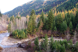
Cedar Creek Land Acquisition
A mixture of National Forest land and small private patented lands, the Cedar Creek lands are located approximately two miles south of Superior, MT. Rolling hills mantled with pine trees and winding creeks characterize the area, which is contained within the Lolo National Forest. Cedar Creek is a crucial site in the preservation of fluvial bull trout and westslope cutthroat trout species. A major tributary, the middle of Clark Fork River supports the spawning of these fish.
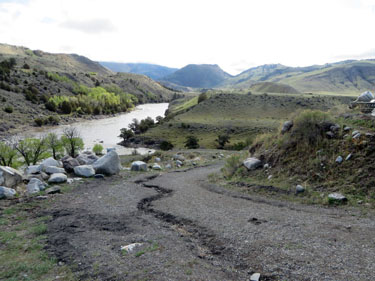
Confluence Park
This parcel has a long history of use by boaters, kayakers, swimmers, fishermen and other outdoor recreationalists who for over 75 years have accessed the area more as a public access than the private property it actually was. This project will assure the parcel remains in perpetuity for the public’s recreational opportunities.
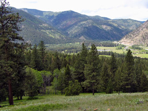
Confluence Project
The Confluence project is a 201 acre property purchase located near the confluence of Rock Creek and the Clark Fork River. The property’s natural qualities have been threatened recently by increasing development pressure.
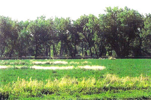
Cottonwood Bend Upland Game Bird Conservation Easement
The Cottonwood Bend area encompasses 164 acres and borders the Milk River for approximately 1.75 miles. The border on the Milk River is crucial riparian habitat for local fish species. Large hay meadows and cropland make the Cottonwood Bend land a principle agricultural area. The presence of white-tailed deer, ring-necked pheasants, Merriam’s turkeys, and a wide variety of native bird species makes this property a popular hunting ground as well.
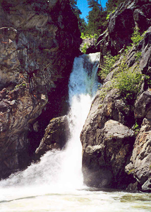
Crow Creek Falls
A 60-foot remote waterfall, the largest on the Helena National Forest, Crow Creek Falls flows into Crow Creek and eventually winds through the Elkhorn Mountains. Native Americans used Crow Creek as a source of fresh water and the surrounding area as a hunting ground. The 20 acre safe-haven that is home to Crow Creek Falls remained untapped until early white settlers staked their claim on the mineral rich lands. In the 1980s, the Creek’s headwaters were a central focus for the Forest Service’s 85,670-acre Wilderness Study that ultimately claimed the land as a critical area for wildlife.
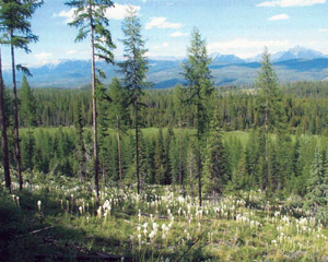
Deer Creek Crossing
The Deer Creek Crossing purchase has been one of FWP’s highest fisheries conservation priorities because it will prevent development and degradation of this critical stream reach, will allow restoration efforts on and off the parcel to succeed, and will further leverage fisheries conservation investments elsewhere in the Deer Creek watershed.
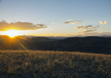
Dillon High Trails
To acquire a total of 1,109 acres with the goal of the acquisition of these lands to provide a key opportunity for recreational activities in the area which can be easily accessible for those living in the Dillon valley.
German Gulch Watershed Restoration
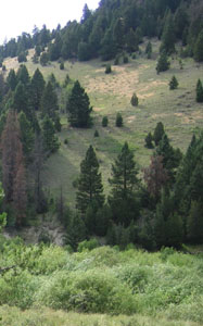
German Gulch Creek, a sub-watershed of Silver Bow Creek, is located midway between Butte and Anaconda, Montana. As a major tributary of Silver Bow Creek, German Gulch Creek is primarily an aquatic habitat for westslope cutthroat trout. The site lies between the Beaverhead-Deer Lodge National Forest district and the Montana Fish, Wildlife and Parks Fleecer Mountain Wildlife Management Area and is heavily forested with rocky outcroppings and plenty of area for creek-side activity.
Hall-Camas Creek Conservation Easement
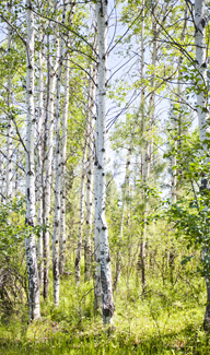
The Hall-Camas Creek property contains 2.5 miles of Camas Creek and nearly 200 acres of important, agricultural land. The surrounding timberlands that include Douglas-fir and ponderosa pine provide critical habitat for elk, black bear, Canadian lynx, mountain lion and local bird species. The Camas Creek is also home to native cutthroat trout.
Herron Park
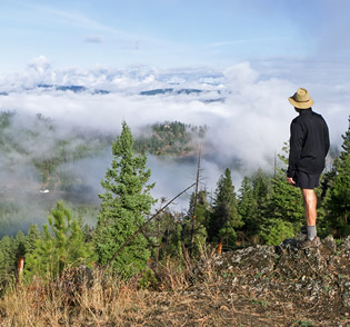
Located southwest of Kalispell near Foys Lake and Herron Park, this project is an 6 phase acquisition of 320 acres of private forest land to expand Herron Park. This expansion of the park will secure permanent public access to and stewardship of, these lands.  This will provide users in this area the opportunity to enjoy the “wild” feel of the forest and to view wildlife in a natural setting close to town as the area is home to whitetail deer, elk, bear, moose, mountain lions, foxes, grouse, hawks, eagles, songbirds and a variety of small mammals. As each phase is completed, the fee title is transferred to Flathead County Parks Department as an addition to Herron Park.
Holland Ranch
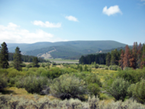
This project is the number one priority for the Beaverhead-Deerlodge National Forest because it would protect and enhance significant cultural, recreational, habitat, wetland, stream, fisheries, and scenic resources and prevent habitat fragmentation from subdivision or development.
Iron Mask Land Acquisition, Phase III
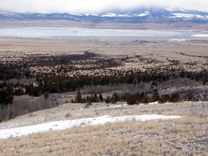
Just south of Helena, Montana, the 5,548 acre Iron Mask property is part of 8,000 acres of habitat in the Elkhorn Mountains that will be maintained as undeveloped timbered foothills and open range land.
Lazy J Cross Conservation Easement
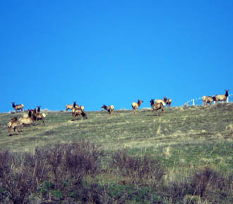
The Lazy J Cross Ranch consists of 1,079 acres of agricultural land and wildlife habitat in the southeastern Bitterroot Valley, just outside of Sula. Wildlife habitat on this property includes prime elk and mule deer winter range and one half mile of the East Fork of the Bitterroot River, a blue ribbon trout stream.
Little Doney Lake Conservation Easement Project
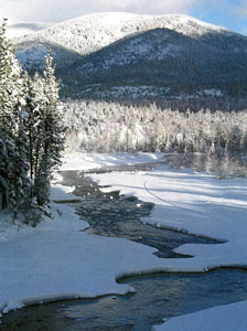
The Little Doney Lake Project is located deep within the Blackfoot Watershed and is part of the Blackfoot Community Conservation Area. The 1,103 acre parcel includes extensive key winter habitat for elk, deer, moose, and grizzly bears. Nesting loons and trumpeter swans also nest on this parcel. Adjacent to North Fork of the Blackfoot River, the land is critical fishery habitat. The land is a great spot for year-round, outdoor recreation.
Lower Beaver Creek Upland Game Bird Conservation Easement
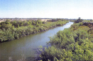
A conservation easement on the 507 acre, Lower Beaver Creek is part of the Milk River Initiative, designed to protect riparian habitat through a series of conservation easements over the course of many years. This project was funded through a partnership between the Montana Fish and Wildlife Conservation Trust, Upland Game Bird Enhancement program and State Wildlife Grants.
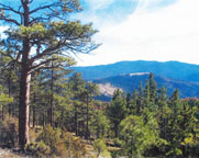
Mount Ascension – City of Helena
Overlooking Helena, Montana, Mount Ascension is a popular hiking spot for locals and visitors. This 20.5 acre property Includes the very popular Entertainment Trail and the acquisition has provided secure public access to this section of the trail.
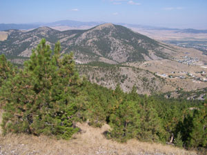
Mount Ascension Acquisition
Overlooking Helena, Montana, Mount Ascension is a popular hiking spot for locals and visitors. The 40.4 acre property adjoins the South Hills of the Helena National Forest, home to a variety of native wildlife like moose, deer, elk and bird species. This scenic reserve features rolling foothills, one topping 6,400 feet, open meadows with native pine and fir trees and access trails for hikers and bikers to reach the summit of this scenic landmark.
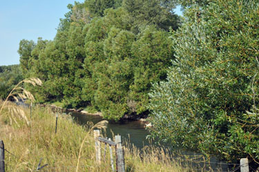
Mountain Acres
Mountain Acres (Big Spring Creek Fishing Access Site) – Montana Fish, Wildlife & Parks purchased fee title to this property in order to restore Big Spring Creek to it’s more natural meandering pattern and to increase public recreational access with an additional Fishing Access Site.
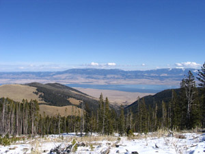
Mountain Dude Land Acquisition
The Mountain Dude property span approximately 20 acres within the borders of the Helena National Forest in the Elkhorn Mountains Wildlife Management Unit. With rocky outcroppings, gentle slopes, cascading falls and a fresh spring, the property is rich in diverse landscape as well as wildlife. The Elkhorn Mountains are home to a variety of wildlife like big horn sheep, mule deer, antelope, black bear and an array of small mammals and birds.
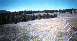
Mullan Pass Conservation Easement
Owned by a Montana family since 1865, Mullan pass has been wonderfully preserved for centuries, displaying a myriad of wildflowers, thick riparian vegetation, pine fir, spruce and aspen trees. The property includes fourteen natural springs with sprawling meadows used by elk as calving grounds. The Dog Creek and Uncle George Creek are vital habitat to westslope cutthroat trout and beaver.
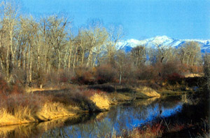
Oyler Ranch Conservation Easement
The land on either side of the West Gallatin River, one mile southwest of Manhattan, Montana, is any outdoor enthusiasts dream. With approximately 587 acres of grasslands and sensational views of the Bridger Mountain Range, the Oyler property is one of the best riparian wildlife habitats in the Gallatin Valley. Whether you’re looking for white tail deer or one of the nearly 20 different species of neotropical migrant birds, this property is exceptional.
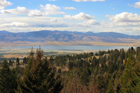
Ray Creek Acquisition
The project is located in the upper Missouri River watershed in central Montana, on the west slope of the scenic Big Belt Mountains of Helena National Forest. Ray Creek is visible from the highly popular Canyon Ferry Lake, the Missouri River, State Highway 287, surrounding public lands and the local community. The property is valuable wildlife habitat for elk, deer, bear, moose, sage grouse, mountain lion and many other species of wildlife.
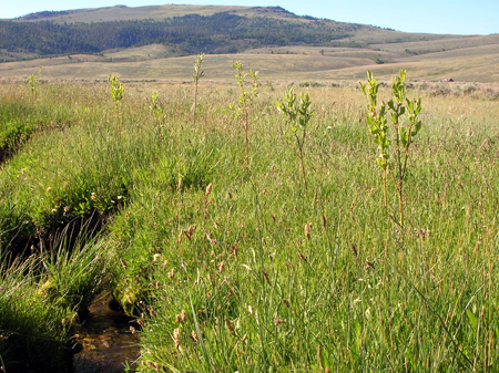
Red Rock Lakes
Acreage: 1,490 acres
The USFWS is purchasing this tract of land which is upstream of the Refuge and threatened by subdivision and second home development. This Phase comes with significant water rights and also is a major water recharge area for the Refuge lakes and wetlands.
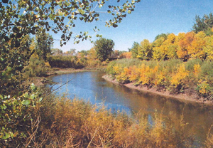
Riverdale Ranch Conservation Easement
The presence of native shrub species, from snowberry to willow, make the Riverdale Ranch property blaze with color during the Spring and Summer months. Located along the Missouri River, the area features 240 acres of riparian habitat and 410 acres of sprawling dryland cropland with 200 acres of grasslands that provide white-tail deer, turkey, pheasant and other game birds habitat. Lofty cottonwoods serve as critical nesting territory for bald eagles.
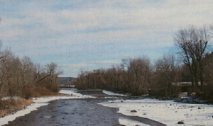
Riverside Fishing Access
The roaring waters of the Stillwater River have been a popular recreation area for floating and rafting for decades. The 4 acres on the Stillwater River near the Red Barn Bridge has been no exception. A nearby parking lot and bridge promote public recreation for water users, bank-side fishing and exploring.
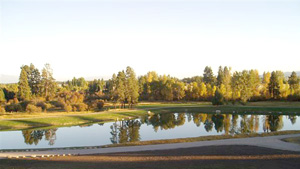
Robin Street Fish Pond
The Robin Street Fish Pond is located on approximately 12 acres of land along the Whitefish River. Lunker and Rainbow Trout populate the once family-owned pond. Road and trail access has been established in the area to encourage outdoor fishing recreation at the pond site.
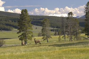
Selway Creek Conservation Project
Selway Creek is located deep within the Beaverhead-Deerlodge National Forest. The diverse landscape of this property made it a top priority for land acquisition in the area. The area fisheries have a variety of fish species from brook to rainbow trout and a wetland system that spans nearly 4 miles of the Creek. The area also provides habitat for bald eagles who feed off the native fish population in the creek. Deer and elk also utilize the area as calving grounds for up to three months of the year.
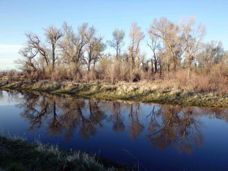
Shoshone Landing
To acquire a 4.37 acre property on the Jefferson River to be used as a public park and floaters campsite on the River. It is one of hopefully 7 or 8 campsites along the Jefferson River that will be established.
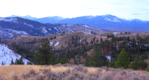
Skalkaho/Brennon Gulch
Deep in The Bitterroot National Forest, adjacent to the mouth of Skalkaho Canyon, the Skalkaho Brennon Gulch Property includes 160 acres of key wildlife habitat. This scenic property within The Bitterroot National Forest is one of the most popular hunting spots in the area. Visitors and valley residents enjoy up to 1,000 days of deer hunting with over 7,000 days of elk hunting overlooking the Bitterroot Valley and Skalkaho Creek. Skalkaho Creek, south of the property, is also a prime location for fishing and hiking.
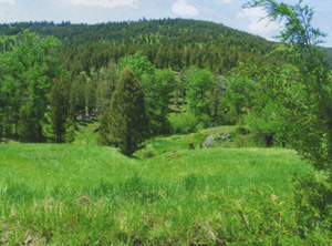
Tar Head Creek Property Access And Habitat Project
A few miles west of the Continental Divide, the Tar Head property lies adjacent to a national scenic trail. The surrounding area is popular for wildlife viewing and hiking and is popular grazing ground for elk, deer, and moose. Wildlife watchers may also spot wolf or wolverine. The property comprises 151.09 acres of sprawling meadows and rolling, grass hills. The small streams that flow through the property from the upper Missouri River system are home to westslope cutthroat trout. Canyon Creek also provides exceptional fishing for brook and rainbow trout.
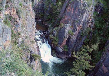
Tenderfoot Acquisition
Tenderfoot Creek is an important tributary that flows into the Smith River above the Canyon Depth camping site. Once all phases of the acquisition are complete this will guarantee public access in the future to 8,200 acres of land and enhance public access to intermingled National Forest lands including an adjacent roadless area. Fishing, hunting, horseback riding, camping, hiking, bird watching, snowmobiling and other recreational uses currently in that area would be enhanced by this acquisition along with the opportunity to view a very scenic waterfall on Tenderfoot Creek.
Winston Land and Livestock In-Holding Acquisition
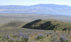
The Winston property comprises over 200 acres of private in-holdings deep within the Elkhorn Wildlife Management Unit of the Helena National Forest. The land features sprawling grasslands, meadows, rolling hills with pockets of partially timbered, fire-damaged land. Roadless, undeveloped, secluded areas are often hard to come by, even in Montana. These lands are a safe-haven to local wildlife for grazing and breeding and provide security to a variety of species.
Wolf Creek Acquisition
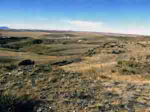
The Wolf Creek property features 5 coulees that drain into Wolf Creek with native grasslands that provide grazing land for mule deer and refuge for grouse, pheasants and other native bird populations. The Montana Fish and Wildlife and Parks Beckman Wildlife Management Area and Department of Natural Resource Conservation lands border both sides of the Wolf Creek property.


